AFRICA Listing Details
Africa listing details. ProdAfrica Business Directory is the best way to make business in Africa. We connect Europe and Africa. Your listing is visible now.
VERIFIED LISTING PUBLIC COMPANY OR LOCATIONValue sectors where we participate
Specializations or competitive advantages
Who we are
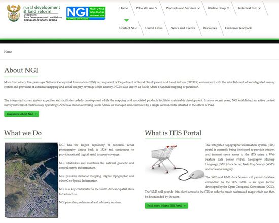
Infrastructure National Geo-spatial Information (NGI) is a public entity that operates under the Department of Agriculture, Land Reform, and Rural Development in South Africa. Its primary role is to provide geo-spatial information and mapping services to support national development, spatial planning, and environmental management. NGI is responsible for maintaining the national geodetic infrastructure, producing accurate and up-to-date maps, and offering geographic data that is crucial for decision-making in various sectors such as urban planning, agriculture, disaster management, and environmental conservation.
The NGI’s core function is to collect, process, and distribute geographic information. This includes producing topographical maps, aerial photography, and satellite imagery, as well as maintaining a national spatial data infrastructure that supports various government departments, private enterprises, and research institutions. By offering reliable and precise geographic data, NGI plays a critical role in helping organizations make informed decisions regarding land use, resource management, and infrastructure development.
One of the key areas of focus for NGI is spatial planning and land management. Its data and mapping services are used for urban development projects, infrastructure planning, and the management of natural resources. This geographic data also supports disaster response and management by helping identify risk areas for floods, fires, and other environmental hazards, enabling authorities to prepare and respond more effectively.
Additionally, NGI is actively involved in advancing geospatial technology and innovation, working with academic institutions and private sector stakeholders to develop new tools and systems that enhance the collection and analysis of geo-spatial data. This technological focus is vital for improving the accuracy and accessibility of geographic information, making it easier for users to integrate it into decision-making processes.
B2B B2C - Product - Service Panel
Our products / services (list)
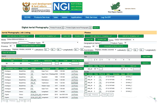
Aerial Photography and Imagery
Geodetic and Control Survey services
Maps and Geospatial Information
SA Mapsheet Referencing
Elevation Data
Topographic Data (Vector)
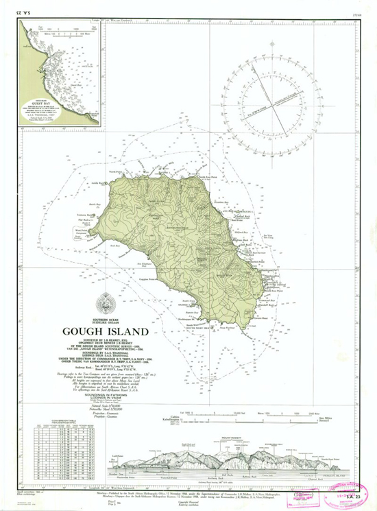
Maps and Charts (Digital/ Raster or Printed)
SA Spatial Data Infrastructure
Professional and Advisory Service


