AFRICA Listing Details
Africa listing details. ProdAfrica Business Directory is the best way to make business in Africa. We connect Europe and Africa. Your listing is visible now.
VERIFIED LISTING PUBLIC COMPANY OR LOCATIONValue sectors where we participate
Who we are
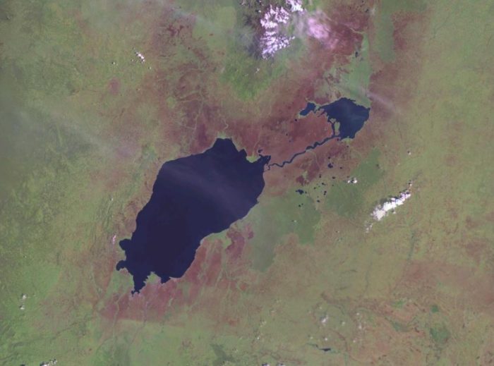
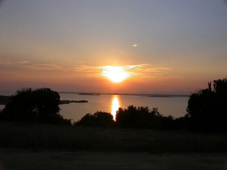
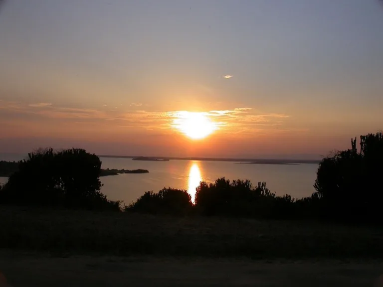
Lake Edward, Rutanzige or Edward Nyanza is the smallest of the African Great Lakes. It is located in the Albertine Rift, the western branch of the East African Rift, on the border between the Democratic Republic of the Congo (DRC) and Uganda, with its northern shore a few kilometres south of the equator.
History
Henry Morton Stanley first saw the lake in 1888, during the Emin Pasha Relief Expedition. The lake was named in honour of Prince Albert Edward, The Prince of Wales, son of then British-monarch Queen Victoria, and later to become King Edward VII.
In 1973, Uganda and Zaire (DRC) renamed it Lake Idi Amin or Lake Idi Amin Dada after Ugandan dictator Idi Amin. After his overthrow in 1979, it recovered its former name.
In 2014, the lake was the center of an oil dispute. SOCO international entered the premises of the Virunga National Park wherethe lake is situated to prospect for oil. However villagers and workers who attempted to stop the oil company from entering the area were beaten up and even kidnapped and tortured. Plans to redraw the lines of Virunga’s boundaries and exclude the lake were taken into consideration. However, since the Park is a world heritage site and the lake is part of it such plans naturally go against the World Heritage Convention.
Topography and drainage
Lake Edward lies at an elevation of 920 metres (3,020 ft), is 77 kilometres (48 mi) long by 40 kilometres (25 mi) wide at its maximum points, and covers a total surface area of 2,325 square kilometres (898 sq mi), making it the 15th-largest on the continent. The lake is fed by the Nyamugasani River, the Ishasha River, the Rutshuru River, the Ntungwe River, and the Rwindi River. Lake George to the northeast empties into it via the Kazinga Channel. Lake Edward empties to the north via the Semliki River into Lake Albert.
The western escarpment of the Great Rift Valley towers up to 2,000 metres (6,600 ft) above the western shore of the lake. The southern and eastern shores are flat lava plains. The Ruwenzori Mountains are 20 kilometres (12 mi) north of the lake.
Volcanism
The region shows much evidence of volcanic activity over the last 5000 years. The Katwe-Kikorongo and Bunyaruguru Volcanic Fields, with extensive cones and craters, lie either side of the Kazinga Channel on the northwest shore of the lake. It is thought that Lakes George and Edward used to be joined as one larger lake, but lava from these fields flowed in and divided it, leaving only the Kazinga Channel as the remnant of the past union. To the south lies the May-ya-Moto thermally active volcano 30 kilometres (19 mi) away, and the Nyamuragira volcano in the western Virunga Mountains lies 80 kilometres (50 mi) south, but its lava flows have reached the lake in the past.
The Katwe-Kikorongo field features dozens of large craters and cones covering an area of 30 kilometres (19 mi) by 15 kilometres (9.3 mi) between lakes Edward and George, and includes seven crater lakes. The largest of these, the 2.5 kilometres (1.6 mi) long Lake Katwe, occupies a crater 4 kilometres (2.5 mi) across and is separated from Lake Edward by just 300 metres (980 ft) of land. The crater is about 100 metres (330 ft) deep, and Lake Katwe’s surface is about 40 metres (130 ft) lower than Lake Edward’s. It is remarkable that the volcanic origin of this area southeast of the Ruwenzoris was not known until it was reported by G. F. Scott Elliot in 1894. Stanley visited Lake Katwe in 1889 and noted the deep depression, the salinity of the lake, and a spring of sulphurous water nearby, but he failed to connect this to volcanism.
