AFRICAN Listing Details
Africa listing details. ProdAfrica Business Directory is the best way to make business in Africa. We connect Europe and Africa. Your listing is visible now.
Profile
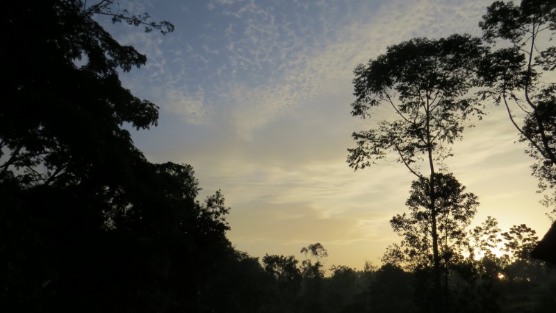
Kibale National Park contains one of the loveliest and most varied tracts of tropical forest in Uganda. Forest cover, interspersed with patches of grassland and swamp, dominates the northern and central parts of the park on an elevated plateau.
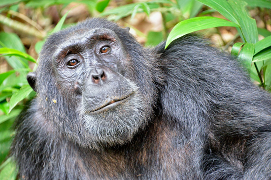
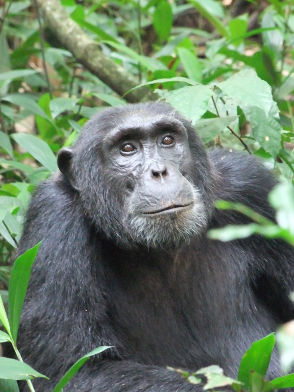
The park is home to a total of 70 mammal species, most famously 13 species of primate including the chimpanzee.
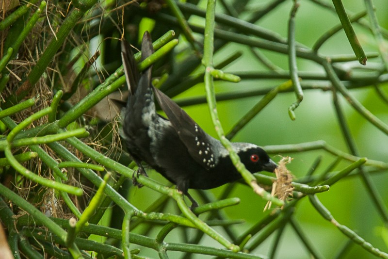
It also contains over 375 species of birds. Kibale adjoins Queen Elizabeth National Park to the south to create a 180km-long corridor for wildlife between Ishasha, the remote southern sector of Queen Elizabeth National Park, and Sebitoli in the north of Kibale National Park.
The Kibale-Fort Portal area is one of Uganda’s most rewarding destinations to explore. The park lies close to the tranquil Ndali-Kasenda crater area and within half a day’s drive of the Queen Elizabeth, Rwenzori Mountains and Semuliki National Parks, as well as the Toro-Semliki Wildlife Reserve.
Geography and Climate
Kibale National Park is located in the districts of Kabarole and Kamwenge, approximately 320 kilometres, by road, west of Kampala, Uganda’s capital and largest city. Fort Portal in Kabarole District is the nearest large city to the national park. The geology consists of rocks formed in the Precambrian period which are sedentary, strongly folded and metamorphosed. The Toro system overlaying these rocks forms prominent ridges of quartzite and sometimes schists and phyllites, which are intruded by amphibiolites, gneiss and granites. Some hills have layers of hard laterite exposed on them. About 90% of the Park is overlain by red ferralitic soils of which 70% are sandy clay loams in the North and 30% are clay loams in the South. These soils are deeply weathered, show little differentiation in horizon and are of very low to moderate fertility. The remaining 10% is where fertile eutrophic soil occurs on a base of volcanic ash limited to Mpokya and Isunga areas on the western edge of the park.
The park has a tropical type of climate with two rainy periods, March to May and September to November. The annual mean temperature range rises from 14° – 15°C, – minimum to 26° – 27°C maximum. The annual rainfall is 1,100 – 1,600 mm. There is a pronounced dry season in December to February. Rain falls more in the North than in the South.
